
Posts From GIS Resources

Omantel Bags ‘Special Achievement’ Award From ESRI at GIS 2013
MUSCAT – Omantel has won a ‘Special Achievement’ in Geographic Information Systems (GIS) Awards 2013 from the Environmental Systems Research Institute (ESRI), which was organised in San Diego, California The award that
GIS to Map Forest Department’s Livelihood Programme
Jamshedpur, India: The forest department’s tribal empowerment livelihood programme will soon be controlled through geo satellite. The department has introduced a Geographical Information System (GIS) in the six forest divisions of Kolhan
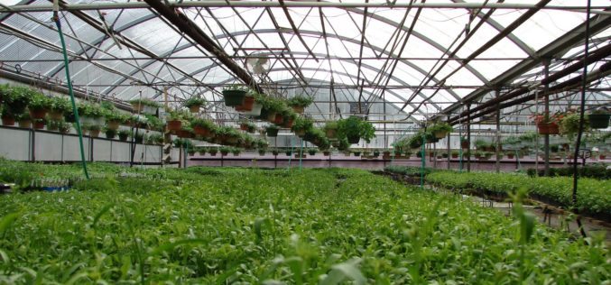
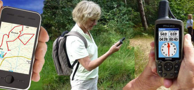
India: GPS Service to Boost Polyhouse Farming
The Kerala State agriculture department is all set to launch a GPS-based service for providing polyhouse farmers accurate information on market-based demand and nutrition needs for vegetables cultivated inside the
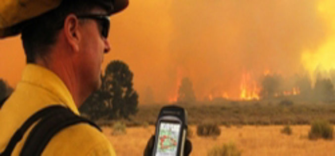
ISU, NASA Use New GIS-Satellite Imagery Program to Create Tool for Firefighters
POCATELLO – 35 minutes. That’s how long it took for the Idaho State University GIS Center to produce a detailed report that gave Bureau of Land Management wildfire managers information

GIS to spur Civil Defense Response
The Civil Defense department will implement an electronic system that links its operations with houses for immediate response in events of fire. The system is already in application in Makkah and
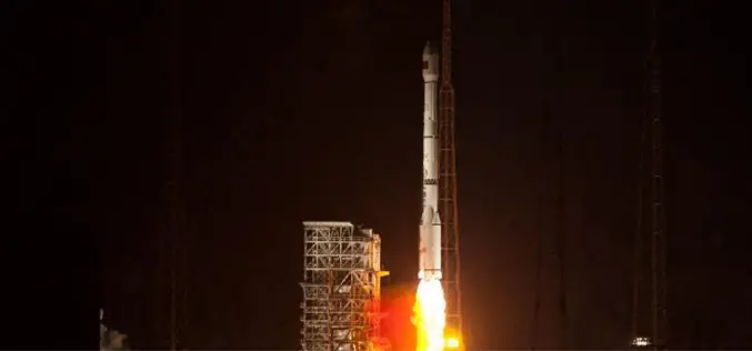
China Sends Remote-Sensing Satellite into Space
China successful sends remote-sensing satellite into space. A Long March-4C rocket carrying the Yaogan-17 satellite, blasted off from the Satellite Launch Center in Jiuquan, northwest China’s Gansu Province on Monday morning.
PhD in Geography – University of Göttingen
Degree: PhD in Geography Course Language(s): Courses are held in English (or German). Participants can choose to defend their PhD thesis in German (precondition: he/she can prove German skills (DSH 2
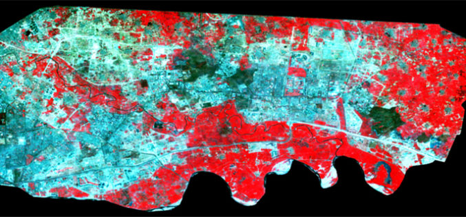
Spatiotemporal Analysis of Noida Using Remote Sensing and GIS Approaches
Spatiotemporal analysis refers to an analysis having both spatial extension and temporal duration. Remote sensing has provided a great tool to quantify changes using satellite data in our area of interest. Population
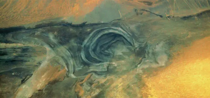
The Secrets of Lop Nor Lake
China’s “Great Ear” is the name for Lop Nor, located at the eastern end of the Tarim Basin. This name is clearly illustrated by the satellite image. The salt lake
The Breathing Earth
John Nelson has created “A Breathing Earth,” a series of animated GIFs made from NASA’s cloud-free satellite imagery of the Earth that show the oscillations of snow and greenery as the
