RIEGL LIDAR 2015 User Conference: Hong Kong Opening with Impressing Keynotes and Significant RIEGL Product News
RIEGL LIDAR 2015 User Conference Hong Kong and Guangzhou:
Hong Kong Opening with Impressing Keynotes and Significant RIEGL Product News
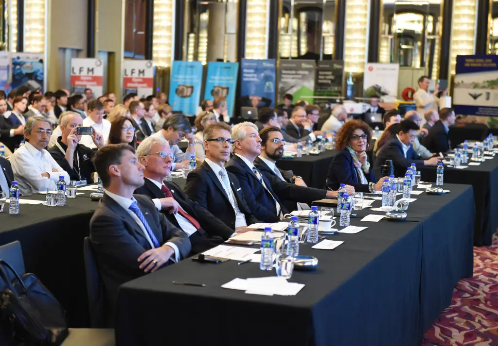
RIEGL launched the first part of its ambitious LIDAR 2015 “One Conference, Two Exciting Locations” in Hong Kong. More than 300 attendees from 40 countries came together to learn about the latest news from RIEGL.
 The official welcome note was delivered by Mr. Christian Schierer, Austrian Trade Commissioner for Hong Kong.
Dr. Johannes Riegl, CEO, opened the conference with background on the conference concept and exciting and significant product introductions, as well as a brief company history and outlook to the future.
The featured keynote was delivered by Mr. Lawrie Jordan, Director of Imagery at ESRI, in a fascinating overview and outlook on how LiDAR is able to support ESRI’s efforts to generate the map of the future. Today’s final keynote was a technical presentation on RIEGL‘s core technologies delivered by Dr. Andreas Ullrich, CTO.
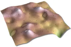
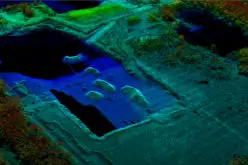
The conference continues with an impressive lineup of more than 100 expert presenters from around the world, giving LiDAR related presentations in various tracks such as UAV-Based Scanning, Mining, Bathymetry, Mobile, Archeology, and more. In the exhibition, more than 25 leading international geospatial firms such as platinum sponsor ESRI and Gold Sponsors Applanix, Flying-Cam and Trimble, inform about their products and services.
As it was expected, RIEGL uses the conference to present some innovative news in hard- and software:
- Introduction of the NEW RIEGL VUX-1 Series of high performance LiDAR Sensors for KINEMATIC Laser Scanning; VUX-1HA High Accuracy, VUX-1 UAV, and the VUX-1LR Long Range
- Introduction of the NEW RIEGL VP-1 ultra-compact, fully integrated helipod for Airborne Laser Scanning with VUX-1LR sensor, camera solution, and IMU/ GNSS
- Introduction of the NEW RIEGL VMQ-450 Mobile Laser Scanning System featuring a single scanning head for cost effective mobile mapping
- Introduction of the new upgraded software package RiSCAN Pro 2.1 featuring dramatic increase in speed of scan registration as well as faster processing speeds, HD image support, and many other improvements for the RIEGL VZ users
- Important new announcement of RiACQUIRE 2.0 acquisition software for all RIEGL kinematic solutions
Thanks to our media sponsors!
LiDAR News, American Surveyor, Geoinformatics, xyHt, Point Of Beginning, GIM International, Earth Imaging Journal, SPAR Point Group, Geoconnexion, GeoProfi Russia, Inside Unmanned Systems, GIS Business, Vector 1 Media, GIS Café, Directions, International Mining, Geomatics World, Business Geomatics, Geospatial Media, MyCoordinates, and GISResources!
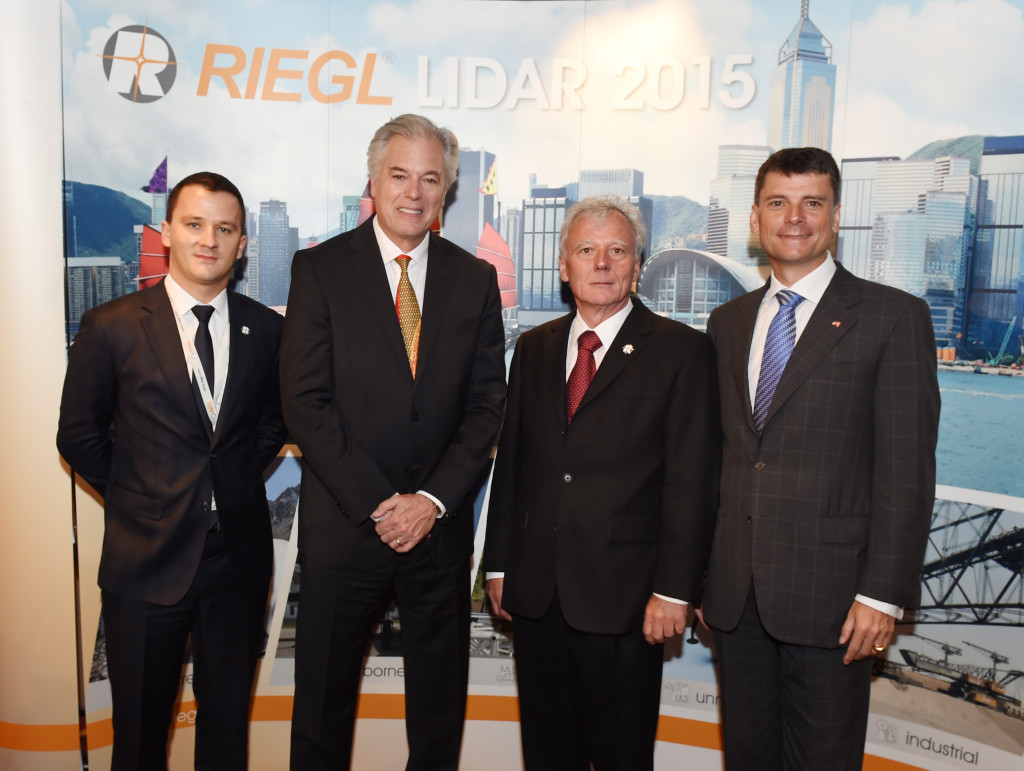
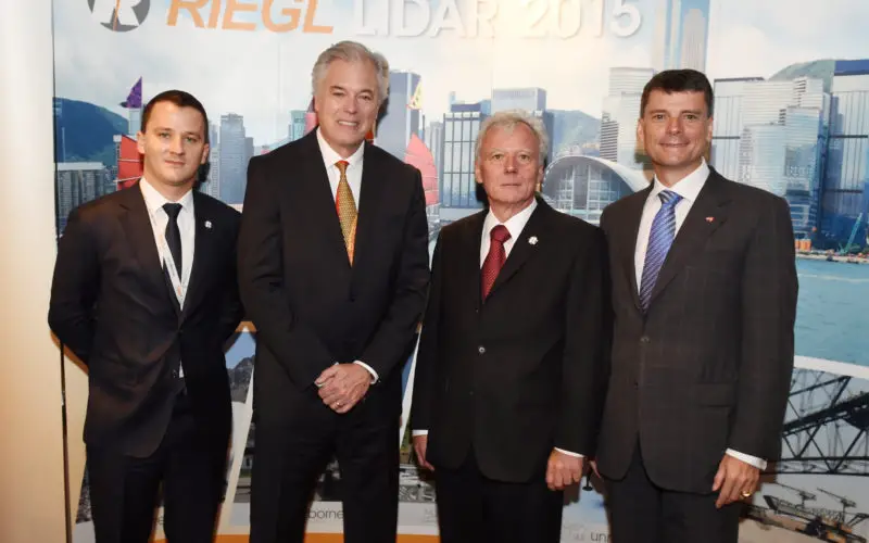
RIEGL LIDAR 2015 Hong Kong Opening (from left to right): Johannes Riegl Jr. (CMO), Lawrie Jordan (Director of Imagery Esri), Dr. Johannes Riegl (CEO), and Christian Schierer (Austrian Trade Commissioner for Hong Kong).
About RIEGL:
The Austrian based firm RIEGL Laser Measurement Systems is a performance leader in research, development and production of terrestrial, industrial, mobile, bathymetric, airborne and UAS-based laser scanning systems. RIEGL’s innovative hard- and software provides powerful solutions for nearly all imaginable fields of application.
Worldwide sales, training, support and services are delivered from RIEGL‘s Austrian headquarters and its offices in Vienna and Salzburg, main offices in the USA, Japan, and in China, and by a worldwide network of representatives covering Europe, North and South America, Asia, Australia and Africa.
For more information, visit www.riegl.com.