
Tag "3D"
Comparable Maps, Anytime, Thanks to Pix4D and Sequoia Sunshine Sensor
Consistent Index Maps When you are a service provider with high client expectations, you need to be able to obtain quality results on a regular basis. When it comes to
Evolving Photogrammetry from Single-Pair Stereo to Multi-View rayCloud
Pix4Dmapper Pro’s rayCloud is a full-3D interface which allows visualization and analysis based on multi-ray intersections from 2D images. This provides a more accurate and consistent solution than extracting 3D
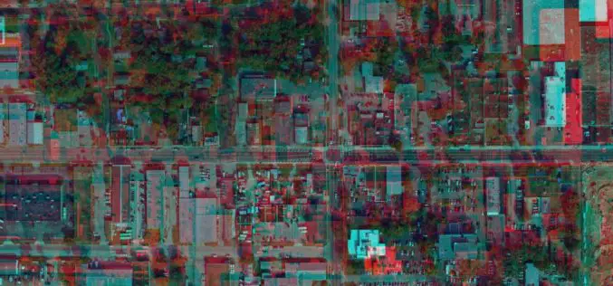
3D Map Tools Launched for Maltese Islands
According to recent news by the Times of Malta, Cloudisle – a series of baseline 3D maps of Malta that will serve as the base for research in cross-thematic fields –
Global Mapper 18.1 Now Available with Improved 3D Viewing, New Fly-Through Visualization Options, and LIDAR QC Tools
Blue Marble Geographics is pleased to announce the immediate availability of Global Mapper version 18.1. This complimentary upgrade to the version 18 release includes numerous functional enhancements throughout many areas
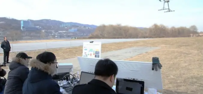
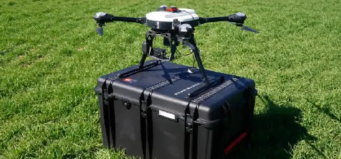
South Korea Government Using Drones to Map Hazardous Areas
According to recent news by Korea Bizwire – On Tuesday, the Ministry of Land, Infrastructure and Transport demonstrated its latest 3D-mapping technology that makes use of drones, at the Han River
Golden Software Releases Surfer 2D and 3D Mapping, Modeling, and Analysis Software
Latest Version Includes Contour Line and Grid Editing Features, User Interface Improvements, Image Georeferencing, Streamlined Workflows, and Access to Online Data. GOLDEN, COLORADO, February 14, 2017 – Golden Software, the
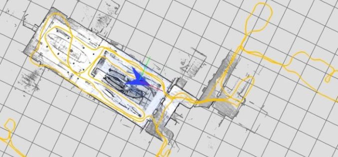
Google Releases LiDAR SLAM Algorithms, an Open Source Cartographer Mapping Solution
Google has released open-sourced Cartographer, a real-time simultaneous localization and mapping (SLAM) library in 2D and 3D with ROS (Robot Operating System) support. This technology which works with the open
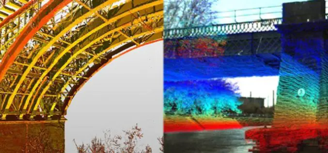
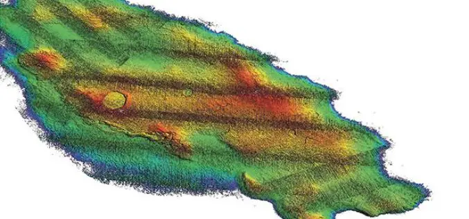
LiDAR Technology for Monitoring Bridge Structure Defect and Health
Road infrastructure of a country plays a crucial role in the national economy. Among all road infrastructure, Bridges are one of the vital assets and histories has given us various evidence
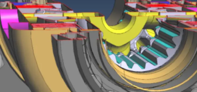
PDF3D V2.13 Release Targets Engineering and Manufacturing Workflows in 3D
3D PDF conversion software leaders, PDF3D, today announce V2.13, a major update for their entire suite of products including PDF3D SDK, XML Server, ReportGen and PV+. ReportGen users can expect
What’s New in ArcGIS Earth 1.1
ArcGIS Earth, a free, desktop-based interactive globe that anyone can use to explore the world and work with a variety of 3D and 2D map data formats including KML. ArcGIS
