
Tag "GIS"

Greater Noida Launches Citizen-Centric GIS Mobile App – GNIDA GIS
Greater Noida becomes the first Smart City in Nation Capital Region (NCR) to launch a citizen-centric GIS Mobile App. Citizens of the Greater Noida city can get information of plots

GIS Resources Magazine (Issue 2 | June 2021): Geospatial Technologies for the Management of Urban Civic Issues
GIS Resources is pleased to announce the release of its 2nd edition (June 2021) of the print and digital magazine. The edition titled “Geospatial Technologies for the Management of Urban Civic

How GIS Can Impact Major Console Releases?
The video game industry is worth more than any other entertainment history. It is worth more than television, more than the film industry and more than the music industry. People

Benefits of GIS for STEM Education
Geographic information systems can come in handy during STEM (science, technology, engineering, and mathematics) classes if they involve spatial science. GIS can help STEM students…

Farmonaut Partners With GarudaUAV to Provide Drone-Based Remote Sensing Technologies for Farming in India
Farmonaut has come together with a leading Indian drone services company, GarudaUAV, engaged in aerial data acquisition, analysis, and reporting for the promotion of drone-based remote sensing technologies for farming

How Location Analytics & GIS May Save Entertainment Industries
GIS & Location Analytics can help businesses to map out demographics and trends in order to identify new sites where live entertainment locations may have better luck.

Iranian Defense Ministry Unveils Military Geographic Products
Tehran – The Iranian Defense Ministry unveiled new products and systems related to geographic data and information for military purposes. In a ceremony held in Tehran on Monday morning, Defense
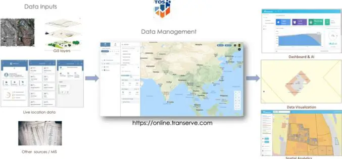
Geospatial Sewerage Surveillance System to Detect Early Warning for Covid
Transerve has introduced a ‘Geospatial Sewerage Surveillance’ model which offers community-based group testing with routine monitoring of sewage as a non-invasive early warning tool.

Inclusion of Geospatial Subject in GATE and NET Exams
The All India Council of Technical Education (AICTE) has given approval on the inclusion of Geospatial subject GATE and NET examinations. The AICTE has taken the move on the recommendation
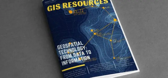
GIS Resources Magazine (Issue 3 | September 2020): Geospatial Technologies: From Data to Information
The edition titled “Geospatial Technologies: From Data to Information” focuses on the use of various geospatial technologies in the collection of spatial data and then transforming into information.
