
Tag "GIS"
Qatar is Using GIS to Map and Analyse Fishing Reserves
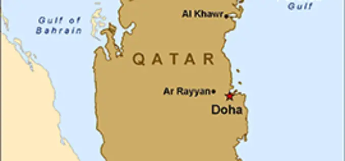
In recent news, Qatar is developing a geographical information system (GIS) to map and analyse its marine resources, mainly fishing reserves. The fisheries department is busy assessing the country’s fish reserves
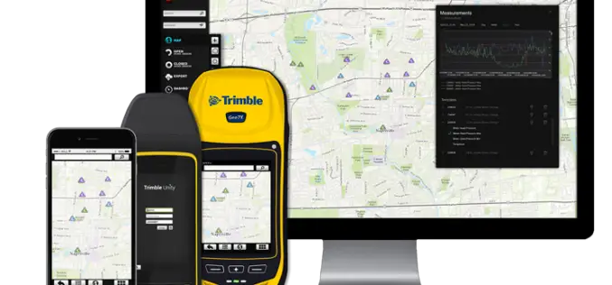
Trimble Unity — Next Generation Suite of Software Applications for Water, Wastewater and Stormwater Utilities
Trimble Unity Replaces Trimble Connect for Water and Offers Unified Cloud-based and Mobile Collaboration Platform for Smart Water Mapping and Work Management Trimble has introduced its next generation suite of software applications

ArcGIS 10.3 Now Certified OGC Compliant
Esri Users Benefit from Interoperability Standard As part of Esri’s ongoing support of GIS interoperability, the latest ArcGIS 10.3 release is now certified as Open Geospatial Consortium, Inc. (OGC), compliant. This

Sahaaya App to Help Bengaluru Citizens in Civic Woes
In recent news, Bruhat Bangalore Mahanagara Palike (BBMP) has launched Sahaaya app, a GIS-based interface, to help citizens lodge complaints regarding civic woes. BBMP Sahaaya (Help) is a easy and user friendly

Blue Marble to Highlight Use of Global Mapper for the Military
Blue Marble Geographics (bluemarblegeo.com) will be exhibiting at the 26th Annual SO/LIC Symposium & Exhibition held in Washington, D.C. at the Washington Marriott Wardman Park Hotel on January 26-28, 2015.

Pakistan to Introduce Smart Phones for Digital Mapping of Dengue
According to recent news, Dengue Prevention and Control Programme (DPCP) Sindh (Pakistan) to introduce smart phones for digital mapping of high-risk areas of dengue larva breeding points, patients and

Central Silk Board Using GIS for Potential Areas for Sericulture Expansion
India- the Central Silk Board under the Ministry of Textile has taken up a project to identify potential areas for sericulture expansion using GIS and remote sensing technology. The project
SuperGIS Cache Generator Now Supports STP Format
Supergeo announces that Cache Generator, the built-in tool in SuperGIS Desktop 3.2, now supports STP format, as a faster alternative to STC and XML files, for users to experience a
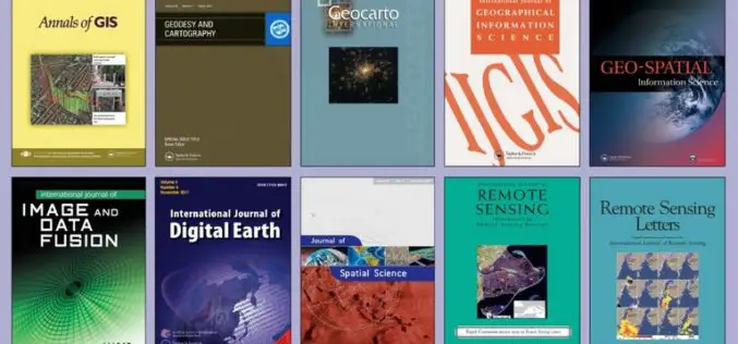
FREE Access to the Leading GIS & Remote Sensing Journals
Taylor & Francis Group partners with researchers, scholarly societies, universities and libraries worldwide to bring knowledge to life. As one of the world’s leading publishers of scholarly journals,
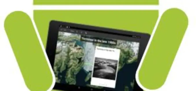
ArcGIS Explorer is Now Available for Android
Finally the long awaiting ArcGIS Explorer on Android is now available in the Google Play Store. ArcGIS Explorer is a free GIS viewer that gives you an easy way to
