
Archive
Locana Debuts Winter Release of Lemur, Providing Enhanced Mobile Access to Geospatial Information Systems
Latest Release Features Additional Esri, Salesforce, and iPhone Integration, Security and Support Locana, an international leader in spatial technology previously known as Critigen, announced its winter 2021/2022 release of Lemur, enterprise‐grade mobile software that provides mobile workers zero‐training access to an
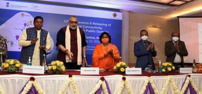
Rural Connectivity GIS Data is Now Available in the Public Domain
Shri Giriraj Singh, the Union Minister for Rural Development and Panchayati Raj, Government of India, has made the Rural Connectivity GIS Data available to the public. This comprises GIS data
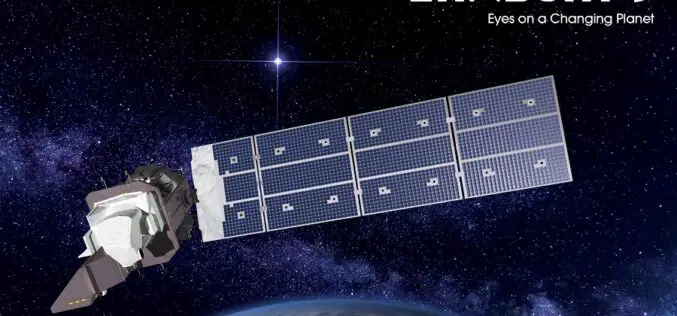
Download Landsat 9 Satellite Data
On September 27, 2021, NASA successfully launched Landsat 9 satellite from Vandenberg Space Force Base using an Atlas V rocket. In the Landsat series of satellites, the Landsat 9 satellite
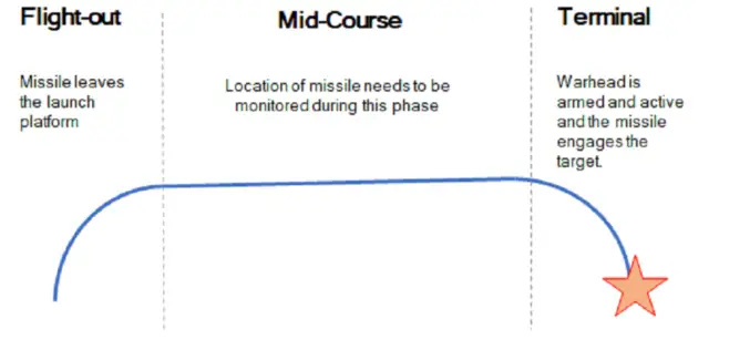
Britain Seeks Alternative for Satellite Navigation
With so many advancements in satellite navigation systems, satellite navigation has become fundamental to the functioning of society in the last few decades. Satellite navigation has become more familiar, whether

‘KISAN’ Mobile App for Dissemination of Agromet Advisory Services
IIT Roorkee under Gramin Krishi Mausam Sewa (GKMS) project has launched the ‘KISAN’ mobile app for dissemination of Agromet Advisory Services. IIT Roorkee held a regional farmers’ awareness programme as

Keeping Up with the Times: Applying GIS Tools for Flood Disaster Mitigation
GIS is a powerful resource as it is accessible, free, and relevant for multiple stakeholders. Anyone can use GIS software to develop flood disaster mitigation strategies and avoid high-cost, flood-related damages on their property.

Trimble Catalyst Handle Adding Flexibility and Get Rid of Pole
Trimble has recently introduced the Trimble Catalyst handle, which adds a new level of flexibility to accessing GNSS. Precise GNSS data collection of features/points of interest like an electric pole,
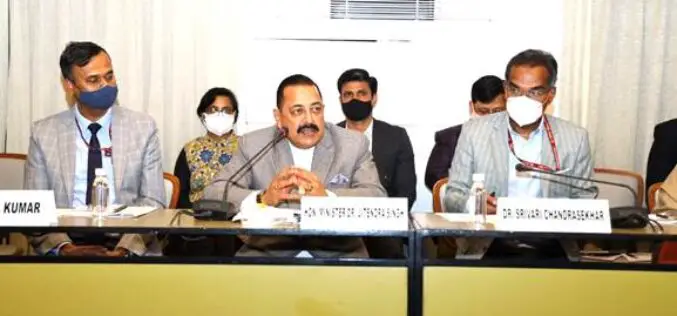
The Size of Indian Geospatial Market to Cross Rs 360 Billion by 2025
Dr. Jitendra Singh, Union Minister of State (Independent Charge) for Science and Technology; Minister of State (Independent Charge) for Earth Sciences; and MoS PMO, Personnel, Public Grievances, Pensions, Atomic Energy,
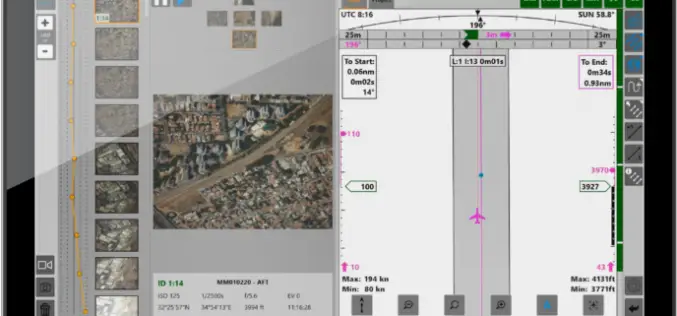
Phase One iX Suite for Aerial Mapping Planning to Delivering the Final Images
Phase One has released the iX Suite, a photogrammetry workflow software. The iX Suite is a comprehensive software suite for managing aerial mapping projects. iX Suite manages mission planning, flight

LiDAR for Water and Soil Conservation in Forests
The Odisha state government is using LiDAR technology for the first time to implement soil and water conservation projects in forest areas. The initiative aims to increase groundwater recharge by
