
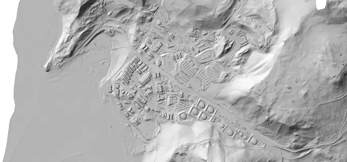
LiDAR
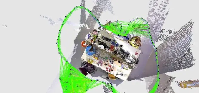
What is SLAM Algorithm and How SLAM Work?
SLAM or Simultaneous Localization and Mapping is an algorithm that allows device/robot to build its surrounding map and localize its location on the map at the same time.

How Apple iPad Pro LiDAR Scanner Works?
Apple has launched its most advanced iPad Pro in the mid of March 2020. Maintaining its legacy, the new iPod Pro many new advanced features such as an Ultra
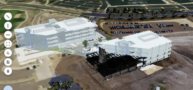
Trimble Clarity: Free Point Cloud Viewer
Trimble Clarity is a browser-based viewer for point cloud and 3D model data. It can be used to share projects and progress updates to team or clients, and allows them
New Zealand Major Funding Boost for LiDAR Survey
Gisborne – April 6, 2018 – Gisborne District Council will receive over $1 million in funding to fly LiDAR across the entire district, a project that will bring major economic and
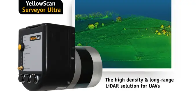
YellowScan Unveils Its New UAV-LiDAR System
Montpellier, 5 February 2018 – The Surveyor Ultra is the new system from YellowScan, integrating the Velodyne VLP-32C scanner & the Applanix APX-15 IMU. Thanks to its high-density (600 000 shots per second), the
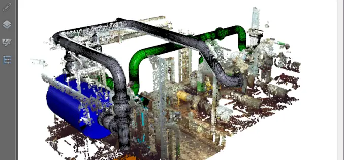
PDF3D’s V2.15 Brings New Tech, Panoramic 360 and Patented Point Cloud Simplification along with Highest Performing 3D PDF Conversion SDK
Popular 3D PDF conversion application brings a host of new features for CAD, scanning and photography, while putting DevOps first in the latest 3D PDF Development Toolkit PDF3D’s ReportGen V2.15
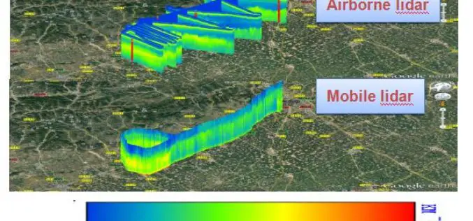
Portland State Laser Mapping Project Shows Global Warming Effects in Antarctica
(Portland, Ore.) Aug. 9, 2017 – Portland State University researchers and the National Science Foundation (NSF) have publically released high-resolution maps of the McMurdo Dry Valleys, a globally unique Antarctic
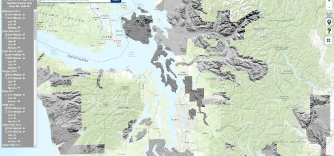
Washington State Department of Natural Resources Published New Landslide Mapping Standards Using LiDAR
Protocol standardizes methods for using LiDAR to map landslides in Washington State The Washington State Department of Natural Resources (DNR) has published standardized methods for mapping landslides in Washington using
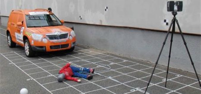
3D Mapping to Investigate Traffic Accident Cases
Singapore – According to recent news by The Star Online, traffic police officers from the Fatal Accident Investigation Team (FAIT) of Singapore are recreating event of accident site using 3D
AIOFM’s Rapid Online Monitoring LiDAR System Steps into Its Industrialization
With support from special project of national major scientific apparatus “R&D and Application of LIDAR System for Spatial-Temporal Detection of Atmospheric Fine Particle and Ozone”, Anhui Institute of Optics and
