
Featured Article
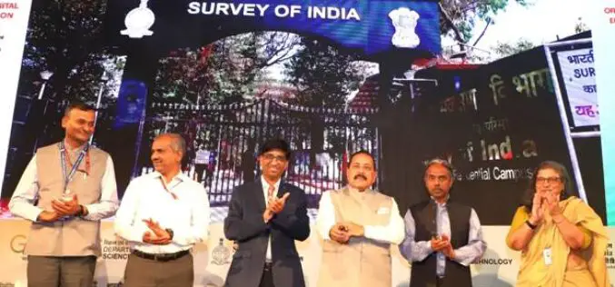
Union Minister Dr. Jitendra Singh Launches CORS Network Operated by Survey of India
In a significant stride towards bolstering India’s geospatial infrastructure, Union Minister Dr. Jitendra Singh inaugurated the nationwide CORS network operated by Survey of India. The cutting-edge initiative, known as the

Trimble Launches New IonoGuard Technology to Mitigate Ionospheric Disruptions
Trimble has introduced Trimble IonoGuard™, a next-generation technology designed to mitigate ionospheric disruptions in positioning and navigation by minimizing performance impacts caused by scintillation or signal noise. Referred to as
A Case for Geospatial Development Program (GEO-DP)
The Geospatial Development Program (GEO-DP) is an Engineer Regiment Program that leverages senior lieutenants/junior captains to provide additional officers to geospatial units while developing the officers’ geospatial skills, thereby increasing
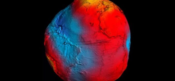
The Power of Geodetic Data: Accessing GGOS Portal for Research and Analysis
The Global Geodetic Observing System (GGOS) portal is a centralized access point for geodetic data. It provides access to a wide range of data related to Earth’s gravity field, geodetic
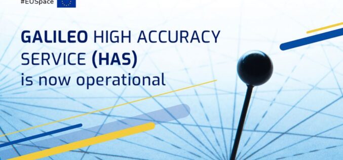
Galileo High Accuracy Service to Deliver 20 cm Horizontal Accuracy
Galileo, the Global Navigation Satellite System (GNSS) of the European Union, starts providing it’s High Accuracy Service. Galileo is now the world’s first Global Navigation Satellite System (GNSS) to provide
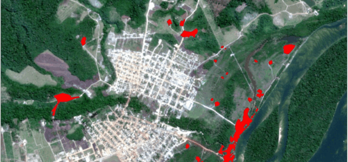
Analyzing Mining Influence on Brazilian Amazon Vegetation
The application of GIS and remote sensing in environmental protection in
analyzing mining influence on Brazilian Amazon vegetation.

How Miami Beach Digitized Seawall Using TrueView
Seawalls are designed to prevent upland erosion and storm surge flooding. Coastline cities utilize seawall structures to help maintain these issues.
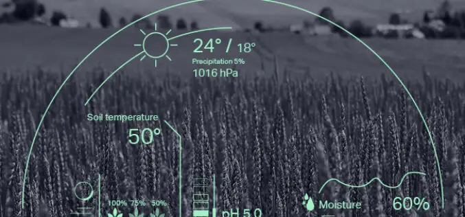
How GIS and Geospatial Tech Can Enhance the Agriculture Sector
Understanding GIS and geospatial techniques and implementing them efficiently to enhance agriculture need human-in-the-loop practice to feed, train and monitor algorithms.

How a Yellowscan LiDAR Solution Contributed To Archeological Prospecting and Exceptional Heritage Management
The team used the YellowScan Explorer, our first LiDAR solution that can be mounted on a light manned aircraft or helicopter as well as mounted on any professional UAV platform.
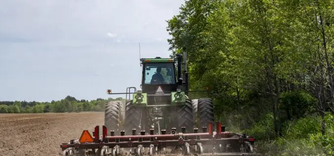
GNSS: The Foundation of Precision Applications in Ag
You may be thinking – so how do GNSS and corrections relay into the rest of precision agriculture? Without precise positioning, there really is no precision agriculture.
